 EN
EN
 AR
AR
 DA
DA
 NL
NL
 FI
FI
 FR
FR
 DE
DE
 EL
EL
 HI
HI
 IT
IT
 JA
JA
 KO
KO
 NO
NO
 PL
PL
 PT
PT
 RO
RO
 RU
RU
 ES
ES
 SV
SV
 TL
TL
 IW
IW
 ID
ID
 SR
SR
 VI
VI
 HU
HU
 TH
TH
 TR
TR
 FA
FA
 MS
MS
 IS
IS
 AZ
AZ
 UR
UR
 BN
BN
 HA
HA
 LO
LO
 MR
MR
 MN
MN
 PA
PA
 MY
MY
 SD
SD

ਲੀਡਰ ਟੈਕਨੋਲੋਜੀ ਕੀ ਹੈ? ਇਹ ਡੂੰਘਾਈ ਮਾਪਣ ਵਿੱਚ ਕਿਵੇਂ ਮਦਦ ਕਰਦੀ ਹੈ?
LiDAR (Light Detection and Ranging) ਤਕਨਾਲੋਜੀ ਐਂਬੈਡਡ ਵਿਜ਼ਨ ਸਿਸਟਮ ਵਿੱਚ ਇੱਕ ਮਹੱਤਵਪੂਰਨ ਨਵਪਰਉਦਯੋਗ ਹੈ। ਇੰਜੀਨੀਅਰ ਅਤੇ ਉਦਯੋਗਿਕ ਪੇਸ਼ੇਵਰ ਇਸ ਨੂੰ ਵਧੇਰੇ ਮਹੱਤਵਪੂਰਨ ਪਾ ਰਹੇ ਹਨ। ਇਹ ਲੇਖ ਮੁੱਢਲੇ ਸਿਧਾਂਤਾਂ ਦੀ ਗੰਭੀਰਤਾ ਨਾਲ ਪੜਚੋਲ ਕਰੇਗਾ LiDAR ਤਕਨਾਲੋਜੀ , ਇਸ ਦੀਆਂ ਵੱਖ-ਵੱਖ ਵਰਤੋਂਆਂ, ਅਤੇ ਅਸਲੀ ਦੁਨੀਆ ਦੇ ਹੱਲ। ਅਸੀਂ ਇਸ ਦੇ ਭਵਿੱਖ ਦੇ ਰਸਤੇ ਉੱਤੇ ਵੀ ਇੱਕ ਨਜ਼ਰ ਮਾਰਾਂਗੇ।
LiDAR ਕੀ ਹੈ?
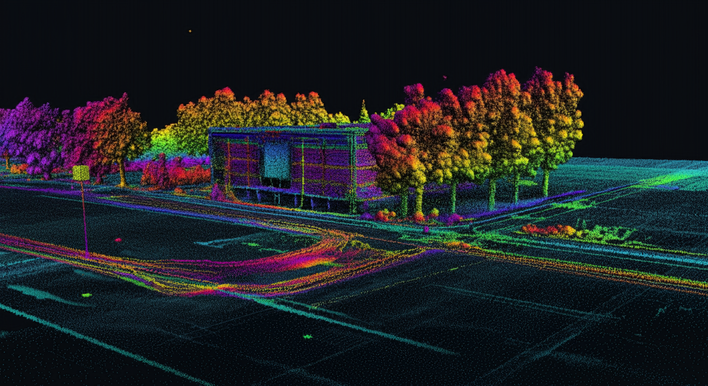
LiDAR , ਜਿਸ ਦਾ ਮਤਲਬ ਹੈ Light Detection and Ranging , ਇੱਕ ਉੱਨਤ ਰਿਮੋਟ ਸੈਂਸਿੰਗ ਤਕਨਾਲੋਜੀ ਹੈ। ਇਹ ਵਸਤੂਆਂ ਤੱਕ ਦੂਰੀਆਂ ਨੂੰ ਸਹੀ ਢੰਗ ਨਾਲ ਮਾਪਦੀ ਹੈ। ਇਹ ਪਲਸਡ ਲੇਜ਼ਰ ਬੀਮ ਉਤਸਰਜਿਤ ਕਰਕੇ ਅਤੇ ਇਹਨਾਂ ਪਲਸਾਂ ਨੂੰ ਸੈਂਸਰ ਤੱਕ ਵਾਪਸ ਆਉਣ ਵਿੱਚ ਲੱਗੇ ਸਮੇਂ ਦੀ ਗਣਨਾ ਕਰਕੇ ਇਹ ਕੰਮ ਕਰਦੀ ਹੈ। ਇਹ ਵਿਧੀ ਸਹਾਇਤਾ ਕਰਦੀ ਹੈ LiDAR ਸਕੈਨਰ ਵਿਸਤ੍ਰਿਤ ਬਣਾਉਣ ਲਈ 3D ਮਾਡਲ , ਜਿਨ੍ਹਾਂ ਨੂੰ ਪੁਆਇੰਟ ਕਲਾਊਡਸ ਕਿਹਾ ਜਾਂਦਾ ਹੈ। ਇਹ ਮਾਡਲ ਵਸਤੂਆਂ ਅਤੇ ਉਨ੍ਹਾਂ ਦੇ ਆਲੇ-ਦੁਆਲੇ ਦੀਆਂ ਰੂਪ-ਰੇਖਾਵਾਂ ਨੂੰ ਸਹੀ ਢੰਗ ਨਾਲ ਮੈਪ ਕਰਦੇ ਹਨ। ਇਹ ਮੁੱਢਲਾ ਸਿਧਾਂਤ ਸਾਰੇ LiDAR ਸਿਸਟਮ .
LiDAR ਰਡਾਰ (RADAR) ਵਰਗਾ ਕੰਮ ਕਰਦਾ ਹੈ, ਪਰ ਇੱਥੇ ਇੱਕ ਮਹੱਤਵਪੂਰਨ ਅੰਤਰ ਹੈ: ਇਹ ਵਰਤਦਾ ਹੈ ਰੇਡੀਓ ਤਰੰਗਾਂ ਦੀ ਥਾਂ ਲੇਜ਼ਰ . A LiDAR ਸੈਂਸਰ ਹਰ ਸਕਿੰਟ 160,000 ਤੋਂ ਵੱਧ ਲੇਜ਼ਰ ਸਿਗਨਲ ਜਾਰੀ ਕਰ ਸਕਦਾ ਹੈ। ਇਸ ਨਾਲ ਸੰਭਵ ਹੁੰਦਾ ਹੈ ਤੇਜ਼ ਅਤੇ ਬਹੁਤ ਸਹੀ ਮਾਪ ਟੀਚਾ ਵਸਤੂਆਂ ਦਾ। ਵਸਤੂ ਦੀ ਦੂਰੀ ਦੀ ਗਣਨਾ ਕਰਨ ਦਾ ਸੂਤਰ ਸਧਾਰਨ ਹੈ: ਵਸਤੂ ਦੀ ਦੂਰੀ = (ਪ੍ਰਕਾਸ਼ ਦੀ ਰਫਤਾਰ × ਉਡਾਣ ਦਾ ਸਮਾਂ) / 2 । ਇਹ ਸੂਤਰ ਸਪੱਸ਼ਟ ਰੂਪ ਨਾਲ ਦਰਸਾਉਂਦਾ ਹੈ ਕਿ ਕਿਵੇਂ LiDAR ਤਕਨਾਲੋਜੀ ਪ੍ਰਕਾਸ਼ ਦੀ ਰਫਤਾਰ ਅਤੇ ਪ੍ਰਕਾਸ਼ ਪਲਸ ਦੇ ਉਡਾਣ ਸਮੇਂ ਦੀ ਵਰਤੋਂ ਕਰਦਾ ਹੈ। ਇਹ ਯਕੀਨੀ ਬਣਾਉਂਦਾ ਹੈ ਬਹੁਤ ਸਹੀ ਅਤੇ ਭਰੋਸੇਯੋਗ ਮਾਪ । ਇਹ ਮੁੱਖ ਕਾਰਜ ਕਿਸੇ ਵੀ ਡੂੰਘਾਈ ਸੈਂਸ ਕਰਨ ਵਾਲਾ ਕੈਮਰਾ .
LiDAR ਦਾ ਮਤਲਬ: ਇਸ ਦੇ ਮੁੱਢਲੇ ਸਿਧਾਂਤਾਂ ਨੂੰ ਸਮਝਣਾ
ਵਾਕ " LiDAR ਦਾ ਮਤਲਬ ਤਕਨੀਕ ਦੇ ਮੁੱਢਲੇ ਸੰਚਾਲਨ ਵੱਲ ਸਿੱਧਾ ਇਸ਼ਾਰਾ ਕਰਦਾ ਹੈ: ਦੂਰੀ ਮਾਪਣ ਲਈ ਰੌਸ਼ਨੀ ਦੀ ਵਰਤੋਂ ਕਰਨਾ। ਇਹ ਸਹੀ ਮਾਪ ਲਿਆਂਦਾ ਹੈ ਕਿਉਂਕਿ ਇਸ ਦੇ ਅੰਦਰ ਕੰਮ ਕਰਨ ਵਾਲੇ ਕਈ ਮੁੱਖ ਹਿੱਸਿਆਂ ਤੋਂ। ਇਹ ਸਾਰੇ ਹਿੱਸੇ ਇੱਕ ਦੂਜੇ ਨਾਲ ਮਿਲ ਕੇ ਕੰਮ ਕਰਦੇ ਹਨ LiDAR ਕੈਮਰਾ ਸਿਸਟਮ.
ਲੇਜ਼ਰ ਸਰੋਤ
ਲੇਜ਼ਰ ਸਰੋਤ ਵੱਖ-ਵੱਖ ਤਰੰਗ ਲੰਬਾਈਆਂ 'ਤੇ ਲੇਜ਼ਰ ਪਲਸ ਜਾਰੀ ਕਰਦਾ ਹੈ। ਆਮ ਸਰੋਤਾਂ ਵਿੱਚ ਨਿਓਡੀਮੀਅਮ-ਡੋਪਡ ਯਿੱਟਰੀਅਮ ਐਲੂਮੀਨੀਅਮ ਗਾਰਨੇਟ (Nd-YAG) ਲੇਜ਼ਰ ਸ਼ਾਮਲ ਹਨ। ਟੋਪੋਗ੍ਰਾਫਿਕ LiDAR ਤਕਨਾਲੋਜੀ ਸੁਰੱਖਿਆ ਲਈ ਅਕਸਰ 1064nm ਜਾਂ 1550nm ਤਰੰਗ ਲੰਬਾਈ ਦੀ ਵਰਤੋਂ ਕਰਦਾ ਹੈ। ਹਾਲਾਂਕਿ, ਬਾਥੀਮੈਟ੍ਰਿਕ ਲਿਡਾਰ 532nm ਲੇਜ਼ਰਾਂ ਦੀ ਵਰਤੋਂ ਪਾਣੀ ਦੀ ਪੈਨੀਟ੍ਰੇਸ਼ਨ ਲਈ ਕਰਦਾ ਹੈ। ਇਹ ਕਿਸੇ ਵੀ LiDAR ਸੈਂਸਰ .
ਸਕੈਨਰ ਅਤੇ ਆਪਟਿਕਸ
ਸਕੈਨਰ ਲੇਜ਼ਰ ਬੀਮ ਨੂੰ ਸਟੀਅਰ ਕਰਨ ਲਈ ਡੈਫਲੈਕਟਿੰਗ ਮਿਰਰ ਦੀ ਵਰਤੋਂ ਕਰਦਾ ਹੈ। ਇਹ ਇੱਕ ਵਿਸ਼ਾਲ ਫੀਲਡ ਆਫ ਵਿਊ (FoV) ਅਤੇ ਉੱਚ ਰਫਤਾਰ ਵਾਲੀਆਂ ਸਕੈਨਿੰਗ ਸਮਰੱਥਾਵਾਂ . ਇਹ ਗਤੀਸ਼ੀਲ ਯੋਗਤਾ ਮਹੱਤਵਪੂਰਨ ਹੈ, LiDAR ਤੇਜ਼ੀ ਨਾਲ ਵਿਸ਼ਾਲ ਵਾਤਾਵਰਣਿਕ ਡਾਟਾ ਪ੍ਰਾਪਤ ਕਰਨ ਲਈ। ਇਸ ਕਰਕੇ ਲਾਈਡਾਰ ਇੱਕ ਸ਼ਕਤੀਸ਼ਾਲੀ 3D ਡੂੰਘਾਈ ਸੈਂਸਿੰਗ ਹੱਲ .
ਡਿਟੈਕਟਰ
ਡਿਟੈਕਟਰ ਰੁਕਾਵਟਾਂ ਤੋਂ ਪਰਾਵਰਤਿਤ ਰੌਸ਼ਨੀ ਨੂੰ ਕੈਪਚਰ ਕਰਦਾ ਹੈ। ਇਸ ਵਿੱਚ ਆਮ ਤੌਰ 'ਤੇ ਸਿਲੀਕਾਨ ਐਵੈਲੈਂਚ ਫੋਟੋ ਡਾਇਓਡ (APDs) ਜਾਂ ਫੋਟੋਮਲਟੀਪਲਾਇਰਜ਼ (PMTs) ਵਰਗੇ ਸੋਲਿਡ-ਸਟੇਟ ਫੋਟੋ ਡਿਟੈਕਟਰ ਦੀ ਵਰਤੋਂ ਕੀਤੀ ਜਾਂਦੀ ਹੈ। ਉਨ੍ਹਾਂ ਦੀ ਉੱਚ ਸੰਵੇਦਨਸheel ਯਕੀਨੀ ਬਣਾਉਦਾ ਹੈ ਕਿ ਕਮਜ਼ੋਰ ਪਰਾਵਰਤਿਤ ਸੰਕੇਤਾਂ ਨੂੰ ਵੀ ਪ੍ਰਭਾਵਸ਼ਾਲੀ ਢੰਗ ਨਾਲ ਕੈਪਚਰ ਕੀਤਾ ਜਾਂਦਾ ਹੈ। ਇਹ ਲਾਈਡਾਰ ਦੀ ਸ਼ੁੱਧਤਾ .
ਜੀਪੀਐਸ ਰਿਸੀਵਰ ਅਤੇ ਇਨਰਸ਼ੀਅਲ ਮਾਪ ਯੂਨਿਟ (ਆਈਐਮਯੂ)
ਵਿੱਚ ਏਰੀਅਲ ਲਾਈਡਾਰ ਸਿਸਟਮ , ਇੱਕ ਜੀਪੀਐਸ ਰਿਸੀਵਰ ਹਵਾਈ ਜਹਾਜ਼ ਦੀ ਉਚਾਈ ਅਤੇ ਸਥਿਤੀ ਦੀ ਪੜਤਾਲ ਕਰਦਾ ਹੈ। ਇਹ ਸਹੀ ਜ਼ਮੀਨੀ ਉਚਾਈ ਮਾਪ ਲਈ . ਉਸੇ ਸਮੇਂ, ਇੱਕ ਇਨਰਸ਼ੀਅਲ ਮਾਪ ਯੂਨਿਟ (IMU) ਵਾਹਨ ਦੀ ਰਫ਼ਤਾਰ ਅਤੇ ਦਿਸ਼ਾ ਦੀ ਨਿਗਰਾਨੀ ਕਰਦਾ ਹੈ। ਇਹ ਜ਼ਮੀਨ 'ਤੇ ਲੇਜ਼ਰ ਪਲਸਾਂ ਦੀ ਸਹੀ ਸਥਿਤੀ ਸੁਨਿਸ਼ਚਿਤ ਕਰਦਾ ਹੈ। ਇਹ ਭਾਗ ਇਕੱਠੇ ਕੰਮ ਕਰਦੇ ਹਨ। ਉਹ ਸਮਰੱਥ ਹੋਣ ਦਿੰਦੇ ਹਨ LiDAR ਸਿਸਟਮ ਪ੍ਰਦਾਨ ਕਰਨ ਲਈ ਉੱਚ-ਸ਼ੁੱਧਤਾ, ਉੱਚ-ਕੁਸ਼ਲਤਾ ਵਾਲਾ 3D ਡੂੰਘਾਈ ਡਾਟਾ , ਵੱਖ-ਵੱਖ, ਗੁੰਝਲਦਾਰ ਐਪਲੀਕੇਸ਼ਨਾਂ ਲਈ ਮਜ਼ਬੂਤ ਹੱਲ ਪ੍ਰਦਾਨ ਕਰਦਾ ਹੈ। ਇਹ ਸਹਿਯੋਗ ਇਸਨੂੰ LiDAR ਕੈਮਰਾ ਅਸਾਧਾਰਨ ਰੂਪ ਵਿੱਚ ਬਹੁਮੁਖੀ ਬਣਾ ਦਿੰਦਾ ਹੈ।
ਅਮਲ ਵਿੱਚ ਲਾਈਡਾਰ ਕਿਵੇਂ ਕੰਮ ਕਰਦਾ ਹੈ?
LiDAR ਸਿਸਟਮ ਆਪਣੇ ਕੰਮਕਾਜੀ ਪਲੇਟਫਾਰਮ ਦੇ ਅਧਾਰ 'ਤੇ ਆਮ ਤੌਰ 'ਤੇ ਦੋ ਮੁੱਖ ਕਿਸਮਾਂ ਵਿੱਚ ਵੰਡਿਆ ਹੋਇਆ ਹੈ: ਹਵਾਈ ਲਿਡਾਰ ਅਤੇ ਜ਼ਮੀਨੀ ਆਧਾਰਿਤ ਲੀਡਾਰ । ਹਰੇਕ ਕਿਸਮ ਦੀਆਂ ਵੱਖਰੀਆਂ ਵਰਤੋਂ ਅਤੇ ਫਾਇਦੇ ਹੁੰਦੇ ਹਨ। ਇਸ ਤੋਂ ਪਤਾ ਚੱਲਦਾ ਹੈ ਲੀਡਾਰ ਕਿਵੇਂ ਕੰਮ ਕਰਦਾ ਹੈ ਵੱਖ-ਵੱਖ ਸਥਿਤੀਆਂ ਵਿੱਚ। ਇਹਨਾਂ ਕਿਸਮਾਂ ਦੇ LiDAR ਤਕਨਾਲੋਜੀ ਵੱਖ-ਵੱਖ ਉਦਯੋਗਿਕ ਲੋੜਾਂ ਨੂੰ ਪੂਰਾ ਕਰਦੇ ਹਨ।
ਹਵਾਈ ਲਿਡਾਰ
ਐਰੀਅਲ 3 ਡੀ ਲੀਡਾਰ ਸੈਂਸਰ ਆਮ ਤੌਰ 'ਤੇ ਡਰੋਨਜ਼ ਜਾਂ ਹੈਲੀਕਾਪਟਰਾਂ 'ਤੇ ਲੱਗੇ ਹੁੰਦੇ ਹਨ। ਉਹ ਜ਼ਮੀਨ ਵੱਲ ਰੌਸ਼ਨੀ ਦੇ ਪਲਸ ਛੱਡਦੇ ਹਨ ਅਤੇ ਵਾਪਸ ਆ ਰਹੇ ਪਲਸ ਨੂੰ ਕੈਪਚਰ ਕਰਕੇ ਦੂਰੀਆਂ ਨੂੰ ਮਾਪਦੇ ਹਨ। ਇਸ ਦੇ LiDAR ਤਕਨਾਲੋਜੀ ਦੋ ਹੋਰ ਉਪ-ਸ਼੍ਰੇਣੀਆਂ ਹਨ: ਟੋਪੋਗ੍ਰਾਫਿਕ ਲੀਡਾਰ ਜ਼ਮੀਨੀ ਸਤਹਾਂ ਨੂੰ ਮੈਪ ਕਰਨ ਲਈ, ਅਤੇ ਬੈਥੀਮੈਟ੍ਰਿਕ ਲੀਡਾਰ . ਬਾਅਦ ਵਾਲਾ ਸਮੁੰਦਰੀ ਪਾਣੀ ਵਿੱਚੋਂ ਲੰਘਣ ਲਈ ਹਰੇ ਰੌਸ਼ਨੀ ਦੀ ਵਰਤੋਂ ਕਰਦਾ ਹੈ, ਅਤੇ ਸਮੁੰਦਰੀ ਤਲ ਅਤੇ ਨਦੀ ਦੇ ਤਲ ਦੀ ਉੱਚਾਈ ਮਾਪਦਾ ਹੈ। ਇਸ ਨੂੰ ਵੱਡੇ ਪੱਧਰ ਦੇ ਵਾਤਾਵਰਣਿਕ ਨਿਗਰਾਨੀ .
ਜ਼ਮੀਨੀ ਆਧਾਰਿਤ ਲੀਡਾਰ
ਜ਼ਮੀਨੀ ਲੀਡਾਰ ਸਿਸਟਮ ਵਾਹਨਾਂ 'ਤੇ ਜਾਂ ਫਿਕਸਡ ਤਿੰਨ-ਪੈਰ ਵਾਲੇ ਸਟੈਂਡ 'ਤੇ ਲੱਗੇ ਹੁੰਦੇ ਹਨ। ਉਹ ਮੁੱਖ ਤੌਰ 'ਤੇ ਇਮਾਰਤਾਂ ਦੀਆਂ ਕੁਦਰਤੀ ਵਿਸ਼ੇਸ਼ਤਾਵਾਂ ਨੂੰ ਮੈਪ ਕਰਦੇ ਹਨ ਅਤੇ ਹਾਈਵੇਜ਼ ਦੀ ਨਿਗਰਾਨੀ ਕਰਦੇ ਹਨ। ਇਹਨਾਂ ਸਿਸਟਮਾਂ ਇਤਿਹਾਸਕ ਸਥਾਨਾਂ ਦੇ ਸਹੀ 3 ਡੀ ਮਾਡਲ ਬਣਾਉਣ ਲਈ ਵੀ ਬੇਮਲ ਹਨ . ਜ਼ਮੀਨੀ LiDAR ਸਕੈਨਰ ਸੰਗਤ ਬਣਾਇਆ ਜਾ ਸਕਦਾ ਹੈ ਮੋਬਾਈਲ ਲੀਡਾਰ (ਚੱਲ ਰਹੇ ਵਾਹਨਾਂ ਲਈ) ਜਾਂ ਸਥਿਰ LiDAR (ਸਥਿਰ ਐਪਲੀਕੇਸ਼ਨਾਂ ਲਈ)। ਉਹ ਵਿਸਤ੍ਰਿਤ ਲਈ ਅਨੁਪਮ ਸ਼ੁੱਧਤਾ ਪੇਸ਼ ਕਰਦੇ ਹਨ ਸੰਪਤੀ ਪ੍ਰਬੰਧਨ ਅਤੇ ਸ਼ਹਿਰੀ ਯੋਜਨਾਬੰਦੀ .
LiDAR ਕੈਮਰਾ: ਅਸਲੀ ਦੁਨੀਆ ਦੀਆਂ ਐਪਲੀਕੇਸ਼ਨਾਂ
ਸਮਝਣਾ ਕਿ ਕਿਵੇਂ LiDAR ਸੈਂਸਰ ਕੰਮ ਕਰਨਾ ਮਹੱਤਵਪੂਰਨ ਹੈ। ਪਰ ਉਹਨਾਂ ਦੀਆਂ ਅਸਲੀ ਦੁਨੀਆ ਦੀਆਂ ਐਪਲੀਕੇਸ਼ਨਾਂ ਅਸਲ ਵਿੱਚ ਤਕਨਾਲੋਜੀ ਦੀ ਅਣਗਹਿਲੀ ਸੰਭਾਵਨਾ ਨੂੰ ਉਜਾਗਰ ਕਰਦੀਆਂ ਹਨ। ਇੱਕ ਦੀ ਬਹੁਮੁਖੀ ਪ੍ਰਕਿਰਤੀ LiDAR ਕੈਮਰਾ ਸਨੂੰ ਕਈ ਖੇਤਰਾਂ ਵਿੱਚ ਅਮੁੱਲ ਬਣਾਉਂਦੀ ਹੈ, ਦੀਆਂ ਸੀਮਾਵਾਂ ਨੂੰ ਧੱਕਦੀ ਹੈ ਏਮਬੈਡਡ ਵਿਜ਼ਨ ਸਿਸਟਮ .
ਆਟੋਨੋਮਸ ਵਾਹਨ ਅਤੇ ਉਪਕਰਣ
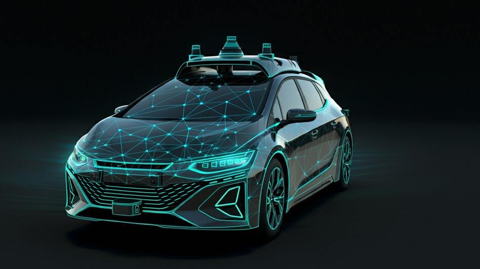
ਆਟੋਨੋਮਸ ਮਸ਼ੀਨਰੀ , ਆਪਣੇ-ਆਪ ਚੱਲਣ ਵਾਲੀਆਂ ਕਾਰਾਂ, ਟਰੱਕਾਂ, ਡਰੋਨ , ਅਤੇ ਰੋਬੋਟਿਕ ਆਰਮਜ਼ , ਭਾਰੀ ਮਾਤਰਾ ਵਿੱਚ ਨਿਰਭਰ ਕਰਦੇ ਹਨ 3D ਡੈਪਥ-ਸੈਂਸਿੰਗ ਕੈਮਰਾ ਮੌਡਿਊਲਜ਼ . ਇਹ ਮੌਡਿਊਲ ਸਮਰੱਥ ਬਣਾਉਂਦੇ ਹਨ ਰੁਕਾਵਟ ਦੀ ਪਛਾਣ , ਉੱਚ-ਸ਼ੁੱਧਤਾ ਵਾਲੀ ਸਥਾਨਕੀਕਰਨ , ਅਤੇ ਵਾਤਾਵਰਨ ਮੈਪਿੰਗ . LiDAR ਸੈਂਸਰ 360-ਡਿਗਰੀ ਘੁੰਮਣ ਵਾਲੀ ਲੇਜ਼ਰ ਬੀਮ ਪ੍ਰਦਾਨ ਕਰਦੇ ਹਨ। ਉਹ ਵਾਸਤਵਿਕ ਸਮੇਂ ਵਿੱਚ ਲੱਖਾਂ ਡਾਟਾ ਬਿੰਦੂਆਂ ਨੂੰ ਜਨਰੇਟ ਕਰਦੇ ਹਨ ਜੋ ਵਿਸਥਾਰ ਨਾਲ ਦੁਆਲੇ ਦੇ ਮਾਹੌਲ ਦੀ ਨਕਸ਼ਾ ਬਣਾਉਣ ਲਈ ਵਰਤੇ ਜਾਂਦੇ ਹਨ। ਬਿੰਦੂ ਬੱਦਲ ਨਕਸ਼ੇ ਇਸ ਨਾਲ ਵਾਹਨਾਂ ਨੂੰ ਸੁਰੱਖਿਅਤ ਢੰਗ ਨਾਲ ਨੇਵੀਗੇਟ ਕਰਨਾ, ਸਹੀ ਰੁਕਾਵਟ ਟਾਲਣਾ ਅਤੇ ਵੱਖ-ਵੱਖ ਮੌਸਮ ਅਤੇ ਰੌਸ਼ਨੀ ਦੀਆਂ ਸਥਿਤੀਆਂ ਵਿੱਚ ਸਹੀ ਵਸਤੂ ਮੈਨੀਪੂਲੇਸ਼ਨ ਨੂੰ ਅੰਜਾਮ ਦੇਣਾ ਸੰਭਵ ਹੁੰਦਾ ਹੈ। LiDAR ਦੀ ਮਜ਼ਬੂਤ ਕਾਰਜ ਪ੍ਰਣਾਲੀ ਇਸ ਨੂੰ ਆਟੋਨੋਮਸ ਡਰਾਈਵਿੰਗ .
ਆਟੋਨੋਮਸ ਮੋਬਾਈਲ ਰੋਬੋਟਸ (AMR)
ਵਿੱਚ ਨਿਰਮਾਣ ਸੁਵਿਧਾਵਾਂ , ਗੋਦਾਮ , ਖੁਦਰਾ ਦੁਕਾਨਾਂ , ਅਤੇ ਵੰਡ ਕੇਂਦਰ , AMRs ਇੱਕ ਮਹੱਤਵਪੂਰਨ ਭੂਮਿਕਾ ਨਿਭਾਉਂਦੇ ਹਨ। ਉਹ ਮਨੁੱਖੀ ਨਿਗਰਾਨੀ ਦੇ ਬਗੈਰ ਵਸਤੂ ਚੁਣਨ, ਆਵਾਜਾਈ ਅਤੇ ਛਾਂਟੀ ਵਰਗੇ ਕੰਮ ਕਰਦੇ ਹਨ। LiDAR aMRs ਲਈ ਇੱਕ ਆਦਰਸ਼ ਹੱਲ ਹੈ। ਇਹ ਤੇਜ਼ ਅਤੇ ਕੁਸ਼ਲਤਾ ਨਾਲ ਵਸਤੂ ਪਛਾਣ ਅਤੇ ਨਕਸ਼ਾ ਬਣਾਉਣਾ . ਹੋਰ ਹੱਲਾਂ ਦੇ ਮੁਕਾਬਲੇ, ਲੇਜ਼ਰ ਸਕੈਨਰ (LiDAR) ਪੇਸ਼ ਕਰਦਾ ਹੈ ਘੱਟ ਪ੍ਰੋਸੈਸਿੰਗ ਓਵਰਹੈੱਡ ਅਤੇ ਉੱਚ ਅਸਲੀ ਸਮੇਂ ਦੀ ਸਮਰੱਥਾ aMRs ਲਈ। ਇਹ ਉਹਨਾਂ ਦੇ ਕੁਸ਼ਲ ਅਤੇ ਸੁਰੱਖਿਅਤ ਸੰਚਾਲਨ ਨੂੰ ਗੁੰਝਲਦਾਰ ਅਤੇ ਗਤੀਸ਼ੀਲ ਅੰਦਰੂਨੀ ਵਾਤਾਵਰਣ ਵਿੱਚ ਯਕੀਨੀ ਬਣਾਉਂਦਾ ਹੈ। ਇਹ ਦਰਸਾਉਂਦਾ ਹੈ LiDAR ਤਕਨਾਲੋਜੀ ਵਿੱਚ ਇੰਡਸਟ੍ਰੀ ਅਟੋਮੇਸ਼ਨ .
ਜਿਓਸਪੇਸ਼ੀਅਲ ਮੈਪਿੰਗ ਅਤੇ ਬਿਲਡਿੰਗ ਮਾਡਲਿੰਗ ਦੀ ਸ਼ਕਤੀ
LiDAR ਤਕਨਾਲੋਜੀ ਵਿੱਚ ਅਨਿੱਖੜਵਾਂ ਹੈ ਜਿਓਸਪੇਸ਼ੀਅਲ ਮੈਪਿੰਗ , ਭੂ-ਸੰਰਚਨਾ ਵਿਸ਼ਲੇਸ਼ਣ , ਅਤੇ ਸ਼ਹਿਰੀ ਯੋਜਨਾਬੰਦੀ . ਇਹ ਬਹੁਤ ਸਹੀ ਡਿਜੀਟਲ ਐਲੀਵੇਸ਼ਨ ਮਾਡਲ (DEM) ਅਤੇ ਡਿਜੀਟਲ ਸਰਫੇਸ ਮਾਡਲ (DSM) ਨੂੰ ਕੁਸ਼ਲਤਾ ਨਾਲ ਬਣਾਉਂਦਾ ਹੈ। ਇਹ ਜ਼ਮੀਨ ਦੀ ਵਰਤੋਂ ਯੋਜਨਾਬੰਦੀ, ਫਲੱਡ ਸਿਮੂਲੇਸ਼ਨ ਅਤੇ ਸਰੋਤ ਪ੍ਰਬੰਧਨ ਲਈ ਮੁੱਢਲੇ ਡਾਟੇ ਪ੍ਰਦਾਨ ਕਰਦਾ ਹੈ। ਇਸ ਤੋਂ ਇਲਾਵਾ, LiDAR ਦੀ ਵਰਤੋਂ ਵਿਆਪਕ ਰੂਪ ਵਿੱਚ ਬਿਲਡਿੰਗ ਇਨਫਾਰਮੇਸ਼ਨ ਮਾਡਲਿੰਗ (BIM) ਅਤੇ ਇਤਿਹਾਸਕ ਸਥਾਨਾਂ ਦੇ 3D ਮਾਡਲਿੰਗ . ਇਹ ਇਮਾਰਤਾਂ ਦੇ ਸਹੀ ਜੁਮੈਟ੍ਰਿਕ ਆਕਾਰ ਅਤੇ ਢਾਂਚੇ ਨੂੰ ਕੈਪਚਰ ਕਰਦਾ ਹੈ। ਇਹ ਡਿਜ਼ਾਈਨ, ਨਿਰਮਾਣ ਅਤੇ ਸੁਰੱਖਿਆ ਦੇ ਯਤਨਾਂ ਨੂੰ ਸਮਰਥਨ ਦਿੰਦਾ ਹੈ। ਇਹ ਦਰਸਾਉਂਦਾ ਹੈ LiDAR ਰੋਬੋਟਿਕਸ ਤੋਂ ਇਲਾਵਾ ਕ੍ਰਾਂਤੀਕਾਰੀ ਪ੍ਰਭਾਵ
LiDAR ਤਕਨਾਲੋਜੀ ਨਾਲ ਆਉਣ ਵਾਲੀਆਂ ਚੁਣੌਤੀਆਂ
ਕਾਫ਼ੀ ਮਹੱਤਵਪੂਰਨ ਲਾਭਾਂ ਦੇ ਬਾਵਜੂਦ LiDAR ਤਕਨਾਲੋਜੀ , ਇਸ ਨੂੰ ਅਜੇ ਵੀ ਕਈ ਵਿਵਹਾਰਕ ਚੁਣੌਤੀਆਂ ਦਾ ਸਾਹਮਣਾ ਕਰਨਾ ਪੈਂਦਾ ਹੈ। ਇਹਨਾਂ ਨੂੰ ਸਮਝਣ ਨਾਲ LiDAR ਹੱਲ .
ਸਭ ਤੋਂ ਪਹਿਲਾਂ, ਕੀਮਤ ਮੁੱਖ ਚਿੰਤਾ ਦਾ ਵਿਸ਼ਾ ਬਣੀ ਰਹਿੰਦੀ ਹੈ . ਉੱਚ ਪ੍ਰਦਰਸ਼ਨ ਵਾਲੇ LiDAR ਸੈਂਸਰ ਅਕਸਰ ਮਹਿੰਗੇ ਹੁੰਦੇ ਹਨ। ਇਸ ਕਾਰਨ ਕੁਝ ਮਾਸ-ਮਾਰਕੀਟ ਉਪਭੋਗਤਾ ਉਤਪਾਦਾਂ ਵਿੱਚ ਇਹਨਾਂ ਦੇ ਵਿਆਪਕ ਅਪਣਾਓ ਨੂੰ ਸੀਮਤ ਕਰ ਦਿੰਦਾ ਹੈ। ਦੂਜਾ, ਮਾੜੇ ਮੌਸਮੀ ਹਾਲਾਤ , ਜਿਵੇਂ ਕਿ ਘੱਟ ਦ੍ਰਿਸ਼ਟੀ ਵਾਲਾ ਧੁੰਦ, ਬਰਫ, ਜਾਂ ਭਾਰੀ ਬਾਰਸ਼, ਲੇਜ਼ਰ ਦੇ ਸੰਚਾਰ ਅਤੇ ਪਰਾਵਰਤਨ ਨੂੰ ਬੁਰੀ ਤਰ੍ਹਾਂ ਪ੍ਰਭਾਵਿਤ ਕਰ ਸਕਦੇ ਹਨ। ਇਸ ਨਾਲ LiDAR ਕੈਮਰਿਆਂ ਦੇ ਪ੍ਰਦਰਸ਼ਨ ਅਤੇ ਡਾਟਾ ਸਹੀ ਹੋਣ ਵਿੱਚ ਕਮੀ ਆਉਂਦੀ ਹੈ। ਇਸ ਤੋਂ ਇਲਾਵਾ, ਡਾਟਾ ਪ੍ਰੋਸੈਸਿੰਗ ਦੀ ਜਟਿਲਤਾ ਇੱਕ ਮਹੱਤਵਪੂਰਨ ਚੁਣੌਤੀ ਹੈ। LiDAR ਬਹੁਤ ਵੱਡੀ ਮਾਤਰਾ ਵਿੱਚ ਪੁਆਇੰਟ ਕਲਾਊਡ ਡਾਟਾ ਪੈਦਾ ਕਰਦਾ ਹੈ। ਇਸ ਦੀ ਅਸਲੀ ਸਮੇਂ ਪ੍ਰੋਸੈਸਿੰਗ ਅਤੇ ਵਿਸ਼ਲੇਸ਼ਣ ਲਈ ਵੱਡੀ ਮਾਤਰਾ ਵਿੱਚ ਕੰਪਿਊਟੇਸ਼ਨਲ ਸ਼ਕਤੀ ਅਤੇ ਜਟਿਲ ਐਲਗੋਰਿਥਮ ਦੀ ਲੋੜ ਹੁੰਦੀ ਹੈ। ਇਸ ਨਾਲ ਸਿਸਟਮ ਦੇ ਬੋਝ ਅਤੇ ਬਿਜਲੀ ਦੀ ਖਪਤ ਵਿੱਚ ਵਾਧਾ ਹੁੰਦਾ ਹੈ।
ਅੰਤ ਵਿੱਚ, ਸੈਂਸਰਾਂ ਦੇ ਭੌਤਿਕ ਆਕਾਰ ਅਤੇ ਏਕੀਕਰਨ ਦੀ ਮੁਸ਼ਕਲ ਨੂੰ ਵੀ ਦੂਰ ਕਰਨਾ ਜ਼ਰੂਰੀ ਹੈ। ਇਹ ਗੱਲ ਖਾਸ ਕਰਕੇ ਏਮਬੈਡਡ ਵਿਜ਼ਨ ਸਿਸਟਮ ਉਹਨਾਂ ਐਪਲੀਕੇਸ਼ਨਾਂ ਲਈ ਸੱਚ ਹੈ ਜਿਨ੍ਹਾਂ ਵਿੱਚ ਥਾਂ ਅਤੇ ਭਾਰ ਦੀਆਂ ਸੀਮਾਵਾਂ ਸਖਤ ਹਨ। ਇਹਨਾਂ ਚੁਣੌਤੀਆਂ ਨੂੰ ਦੂਰ ਕਰਨਾ LiDAR ਤਕਨਾਲੋਜੀ ਨੂੰ ਹੋਰ ਵੀ ਜ਼ਿਆਦਾ ਉਦਯੋਗਾਂ ਵਿੱਚ ਫੈਲਾਅ ਲਈ ਮਹੱਤਵਪੂਰਨ ਹੋਵੇਗਾ।
ਨਤੀਜਾ: ਲਾਈਡਾਰ ਦਾ ਭਵਿੱਖ
ਦਾ ਆਗਮਨ 3D ਡੈਪਥ ਸੈਂਸਿੰਗ ਤਕਨੀਕਾਂ ਖਾਸ ਕਰਕੇ LiDAR ਨੇ ਸਾਡੇ ਵਾਤਾਵਰਣ ਨੂੰ ਸਮਝਣ ਅਤੇ ਉਸ ਨਾਲ ਕ੍ਰਿਆ ਕਰਨ ਦੇ ਢੰਗ ਨੂੰ ਬਦਲ ਦਿੱਤਾ ਹੈ। ਆਟੋਨੋਮਸ ਵਾਹਨਾਂ ਤੋਂ ਉਦਯੋਗਿਕ ਸੈਟਿੰਗਜ਼ , ਵਿੱਚ ਕਾਰਜਾਂ ਨੂੰ ਸੁਚਾਰੂ ਕਰਨ ਤੱਕ ਦਾ ਪ੍ਰਭਾਵ ਬਹੁਤ ਦੂਰ ਤੱਕ ਹੈ। ਇਸ ਤਕਨੀਕ ਨੇ ਕੇਵਲ ਕਾਰਜਸ਼ੀਲਤਾ ਨੂੰ ਹੀ ਨਹੀਂ ਸਗੋਂ ਸੰਚਾਲਨ ਨੂੰ ਵੀ ਵਧਾਇਆ ਹੈ ਸੁਰੱਖਿਆ ਅਤੇ ਕੁਸ਼ਲਤਾ ਪਰ ਇਸ ਨੇ ਨਵੀਆਂ ਸੰਭਾਵਨਾਵਾਂ ਵੀ ਖੋਲ੍ਹੀਆਂ ਹਨ ਨਵਜਾਗਰਤਾ ਪ੍ਰਯੋਗਾਂ .
ਕਿਉਂਕਿ ਇਹ ਤਕਨੀਕੀ ਵਿਕਸਤ ਹੁੰਦੀਆਂ ਰਹਿੰਦੀਆਂ ਹਨ, LiDAR ਸੈਂਸਰ ਹੋਰ ਛੋਟੀਆਂ, ਕਿਫਾਇਤੀ ਅਤੇ ਹੋਰ ਕੁਸ਼ਲ ਹੋਣ ਦੀ ਉਮੀਦ ਹੈ। ਉਹਨਾਂ ਦੀਆਂ ਵਰਤੋਂਆਂ ਵਿੱਚ ਹੋਰ ਵਾਧਾ ਹੋਵੇਗਾ, ਸਾਡੇ ਰੋਜ਼ਾਨਾ ਜੀਵਨ ਵਿੱਚ ਹੋਰ ਏਕੀਕਰਨ ਅਤੇ ਤਕਨਾਲੋਜੀ ਦੇ ਭਵਿੱਖ ਨੂੰ ਆਕਾਰ ਦੇਵੇਗਾ। LiDAR ਤਕਨਾਲੋਜੀ ਵਿੱਚ ਲਗਾਤਾਰ ਤਰੱਕੀ
Sinoseen ਦਾ ਇਸ ਤੋਂ ਵੱਧ 14 ਸਾਲਾਂ ਦਾ ਸਮ੍ਰੱਥ ਤਜਰਬਾ ਉਦਯੋਗ ਵਿੱਚ ਐਮਬੈੱਡਡ ਵਿਜ਼ਨ ਖੇਤਰ . ਅਸੀਂ ਆਪਣੇ ਗਾਹਕਾਂ ਨੂੰ ਸਹੀ, ਉੱਚ ਪ੍ਰਦਰਸ਼ਨ ਕੈਮਰਾ ਮੋਡੀਊਲ ਉਹਨਾਂ ਦੇ ਉਤਪਾਦਾਂ ਵਿੱਚ। ਅਸੀਂ ਬਹੁਤ ਸਾਰੀਆਂ ਡਰੋਨ ਅਤੇ ਰੋਬੋਟਿਕਸ ਕੰਪਨੀਆਂ ਨੂੰ ਆਪਣੇ ਡੈਪਥ ਕੈਮਰੇ ਉਹਨਾਂ ਦੇ ਨਵੀਨਤਾਕਾਰੀ ਹੱਲਾਂ ਵਿੱਚ ਏਕੀਕ੍ਰਿਤ ਕਰਨ ਲਈ। ਜੇਕਰ ਤੁਸੀਂ LiDAR ਹੱਲ ਜਾਂ ਡੈਪਥ ਕੈਮਰਾ ਮੌਡੀਊਲਾਂ , ਬਾਰੇ ਦਿਲਚਸਪੀ ਰੱਖਦੇ ਹੋ ਤਾਂ ਭਵਿੱਖ ਦੀਆਂ ਸੰਭਾਵਨਾਵਾਂ ਦੀ ਪੜਚੋਲ ਕਰਨ ਲਈ ਸਾਡੇ ਨਾਲ ਸੰਪਰਕ ਕਰਨ ਲਈ ਸੁਤੰਤਰ ਮਹਿਸੂਸ ਕਰੋ।
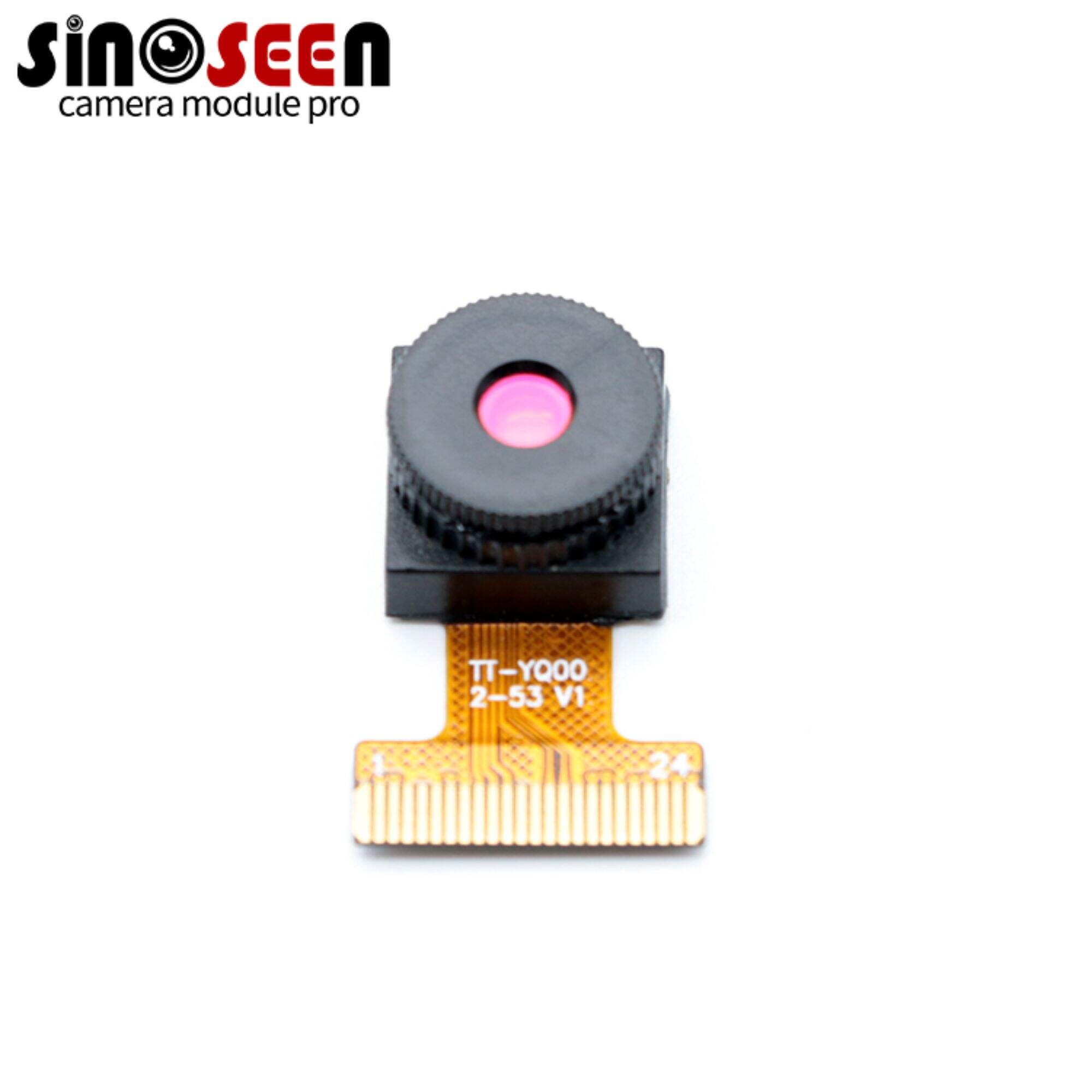
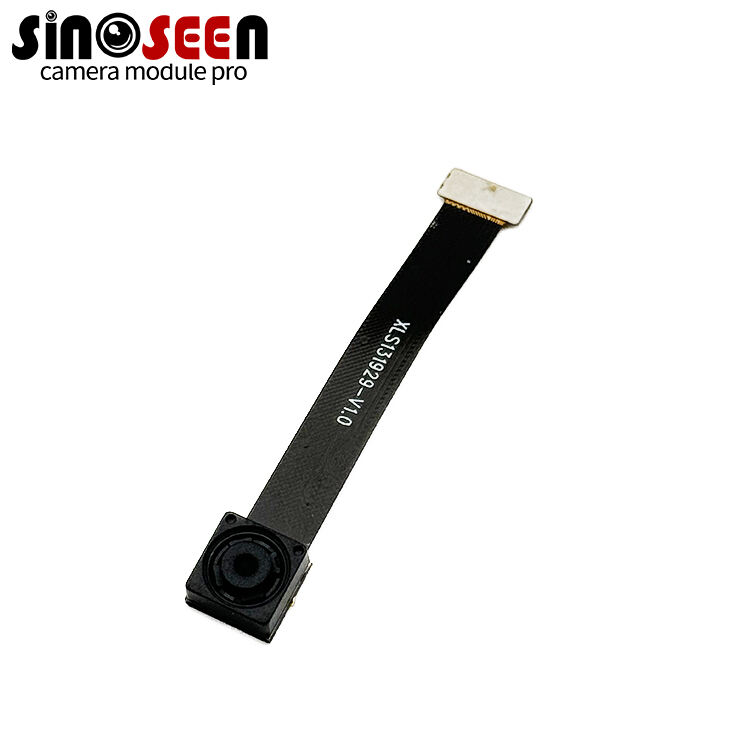
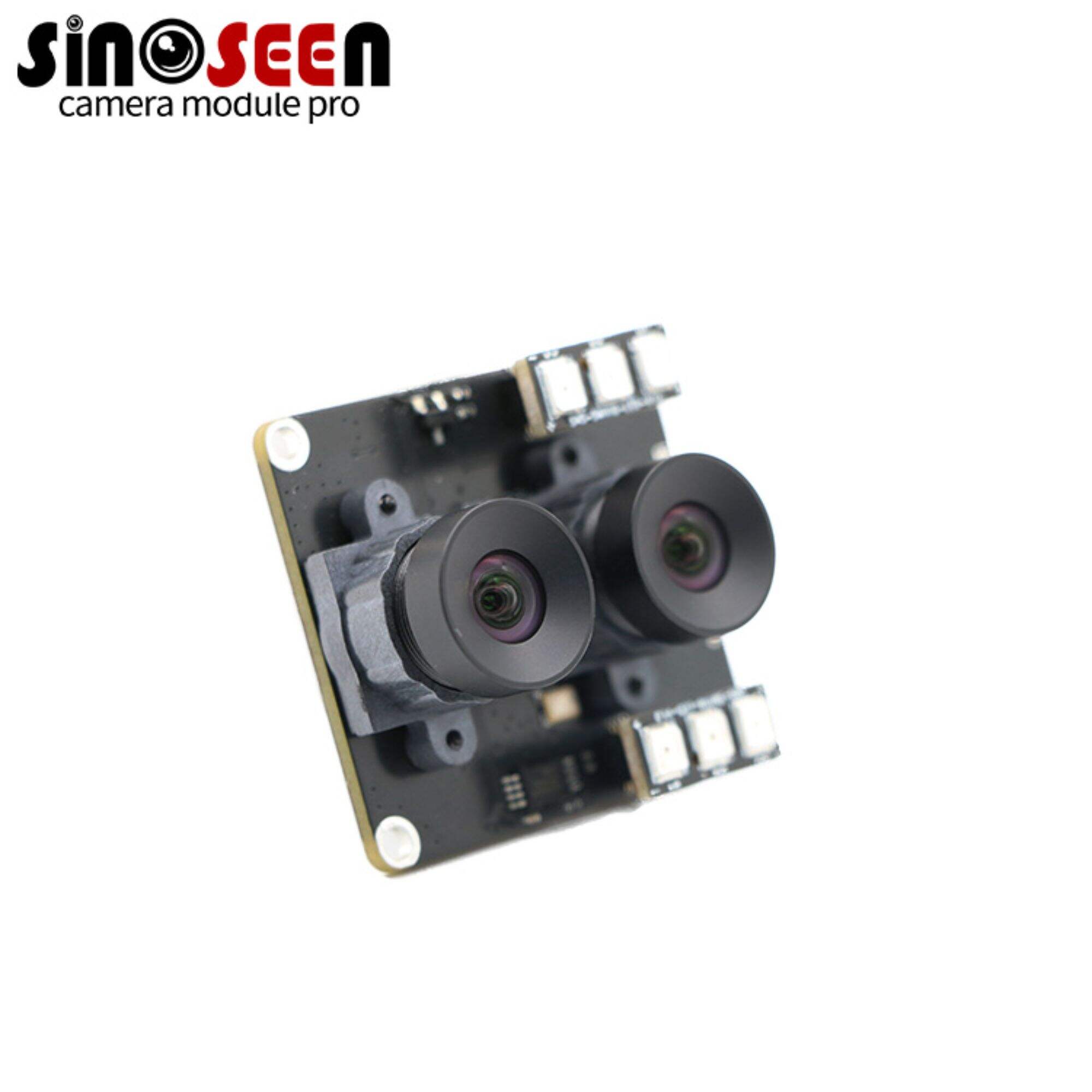
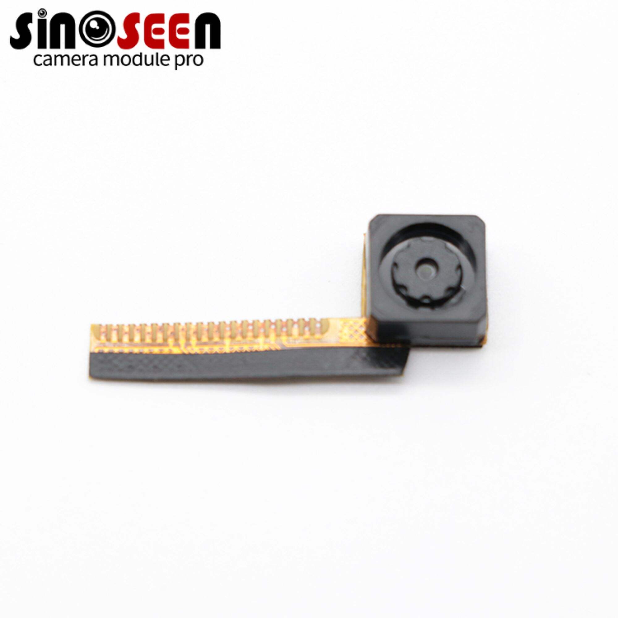
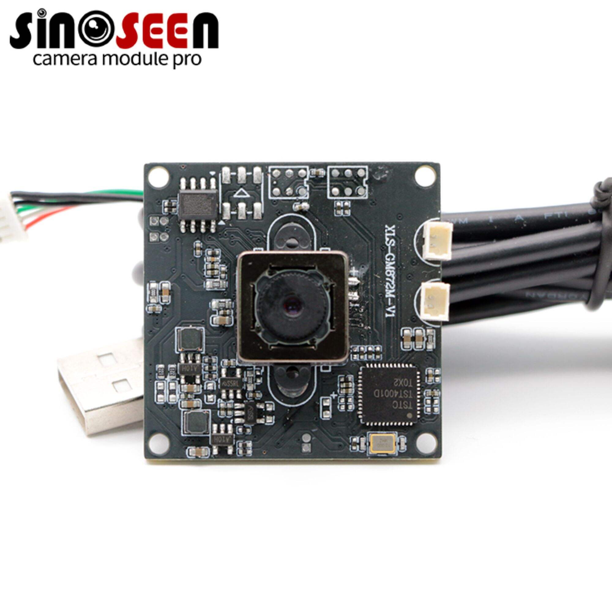
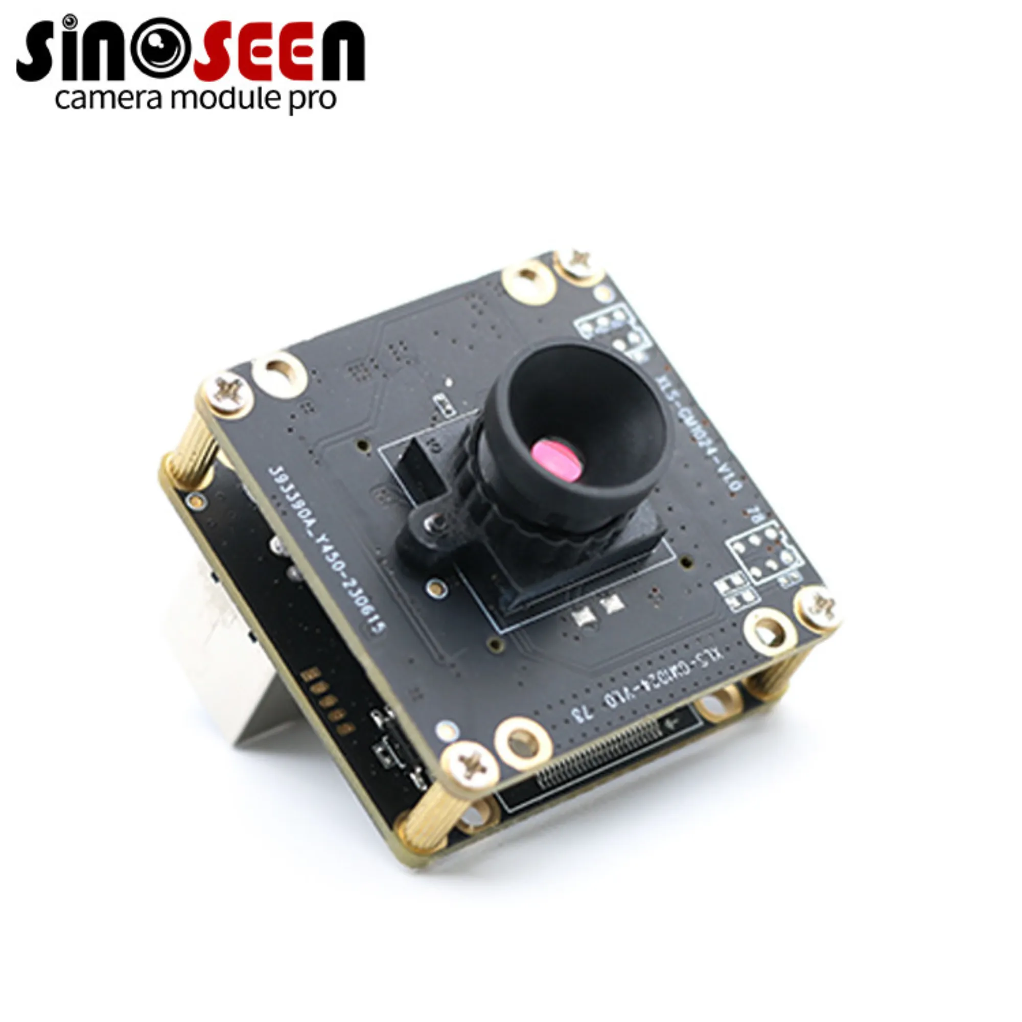
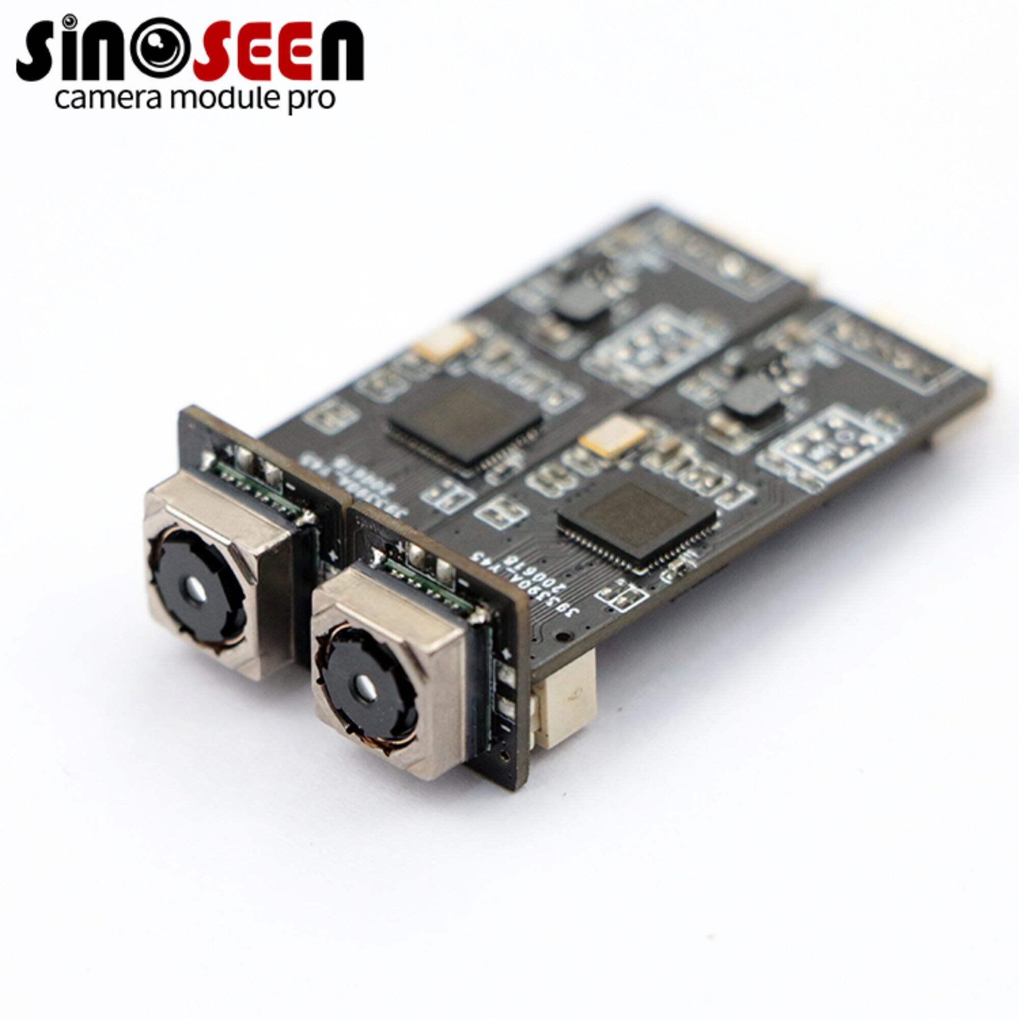
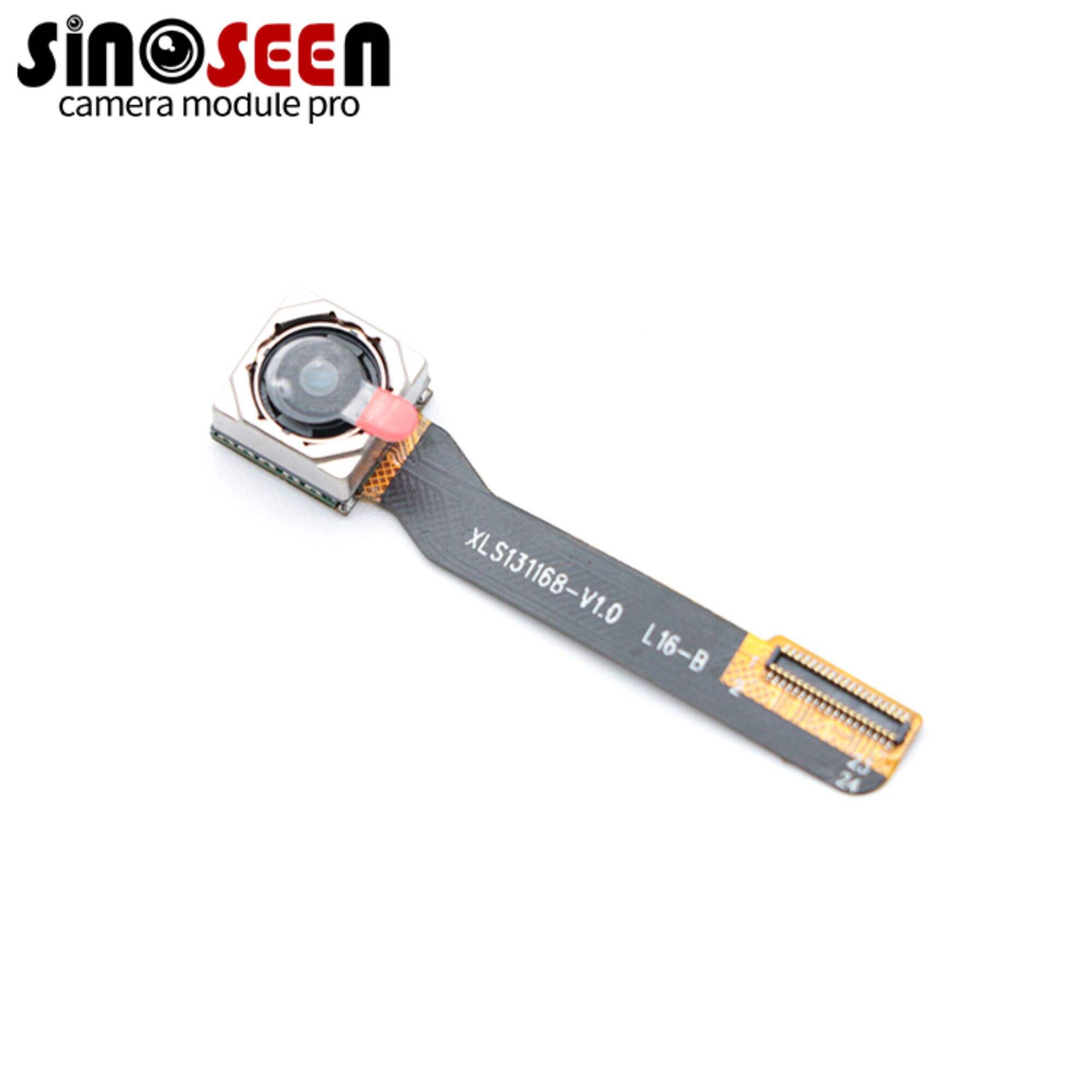
ਸੁਝਾਏ ਗਏ ਉਤਪਾਦ
गरम समाचार
-
ਚੀਨ ਮੋਹਰੀ ਕੈਮਰਾ ਮੋਡੀਊਲ ਨਿਰਮਾਤਾ
2024-03-27
-
OEM ਕੈਮਰਾ ਮੋਡੀਊਲ ਲਈ ਆਖਰੀ ਅਨੁਕੂਲਤਾ ਗਾਈਡ
2024-03-27
-
ਕੈਮਰਾ ਮੋਡੀਊਲ ਦੀ ਡੂੰਘਾਈ ਨਾਲ ਸਮਝ
2024-03-27
-
ਕੈਮਰਾ ਮਾਡਿਊਲ ਰੈਜ਼ੋਲੂਸ਼ਨ ਨੂੰ ਕਿਵੇਂ ਘਟਾਉਣਾ ਹੈ?
2024-12-18